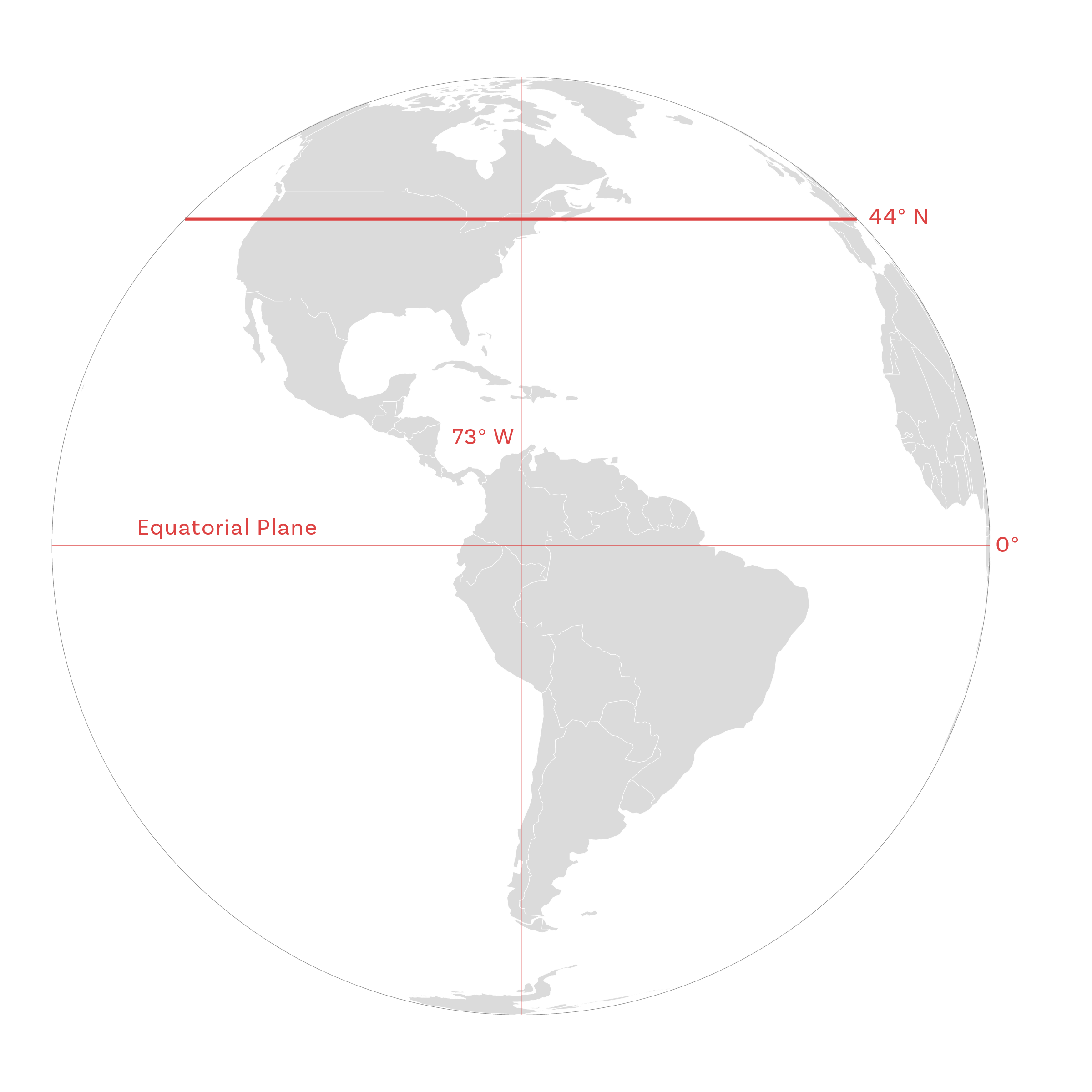
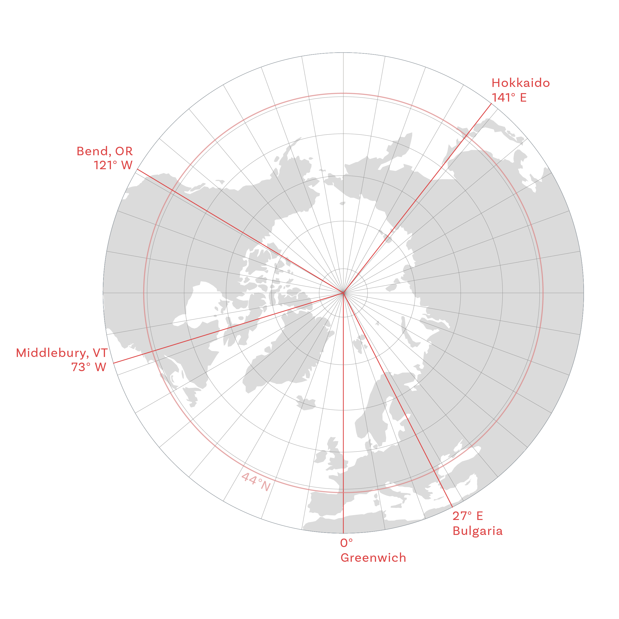
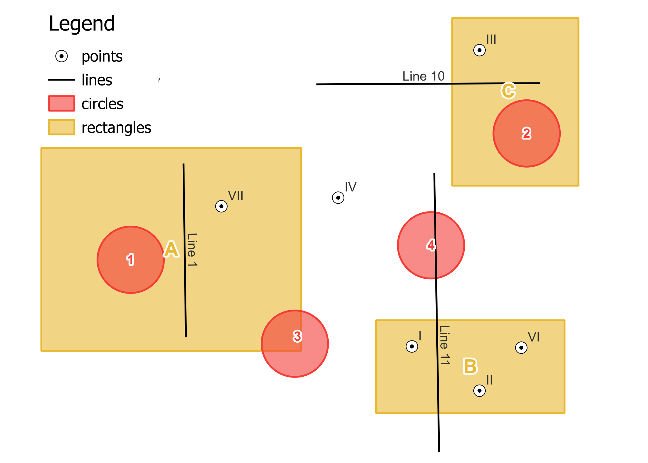
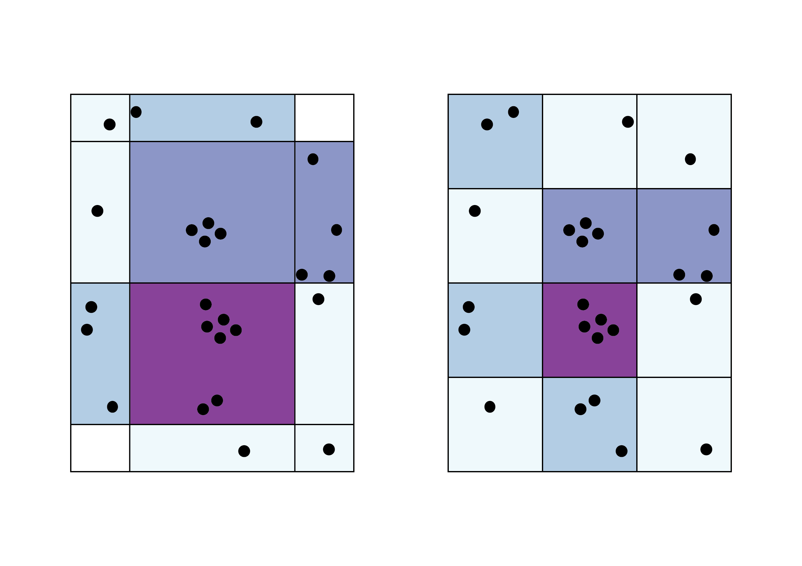
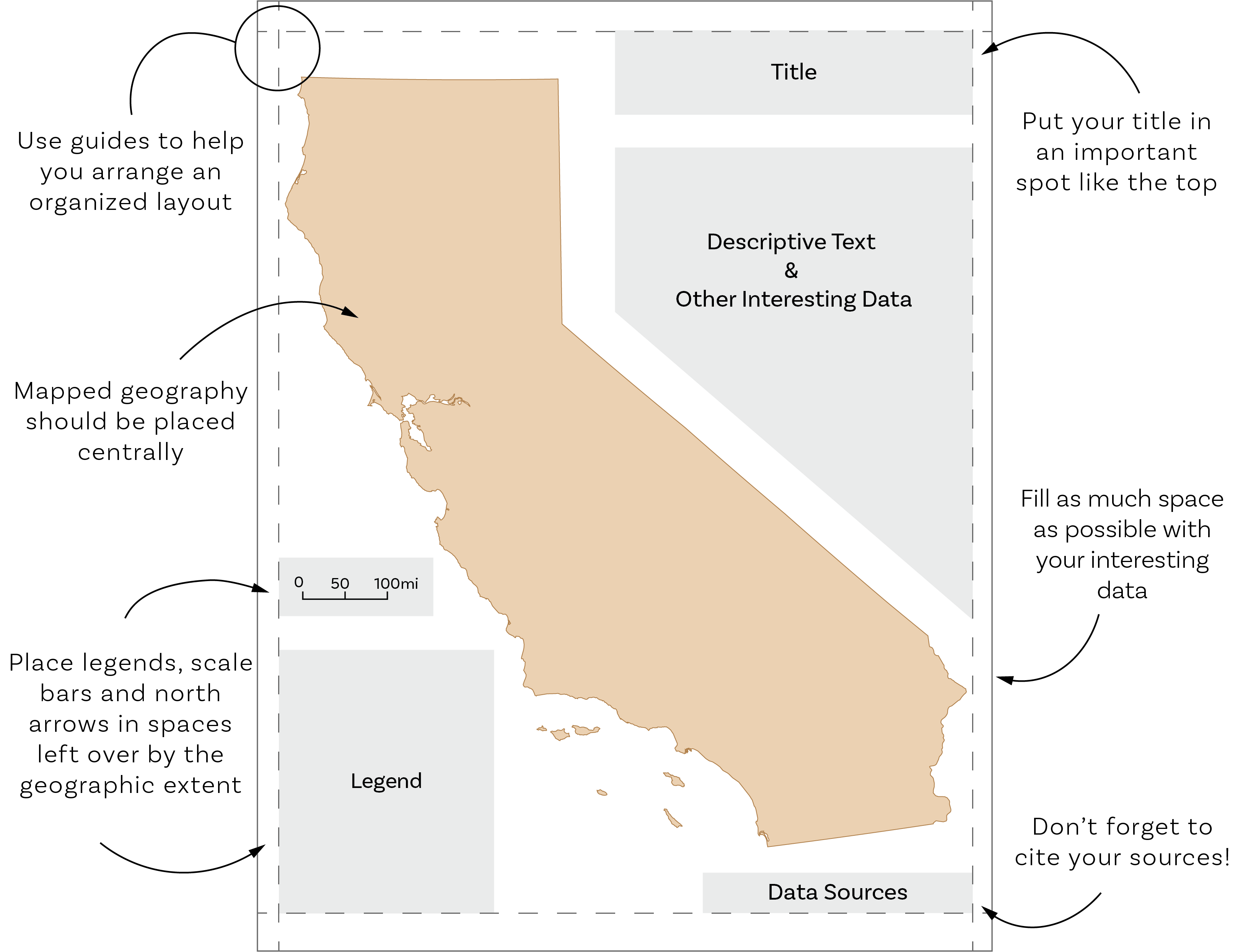
Illustrating GIS Concepts
One of the duties that I’ve picked up while supporting introductory GIS classes as the ASI has been contributing to the conceptual handbook by creating maps/diagrams/artwork. For students unfamiliar with geography and GIS, visuals are a fantastic way to start to understand difficult concepts. Below are some of the illustrations that I have made for this purpose.
Developable Surfaces


Figure Ground


Figure ground contrast in cartography is the effect when one feature of the map is considered the object of attention in order to create visual hierarchy. One map is an example of a map with figure ground contrast and vice versa.
Latitude and Longitude


How do we measure Longitude and Latitude?
Tips for Balanced Design

In this course, students learn to visualize their data as well as gather and analyze it. In this diagram are some helpful tips and reminders for good map design.
Modifiable Areal Unit Problem
