Shipwrecks in the San Juan River
In January 2024, Miguel Fernandez, a professor in the Department of Luso Hispanic Studies at Middlebury College, approached me looking for a research assisant to help him with some GIS story mapping. At time time, he was on his sabbatical and working with marine archeologists looking for shipwrecks along the San Juan River. The goal of this project was to create a story map with an interactive wep map “flagging” the places where Prof. Fernandez and his team found remains of shipwrecks.
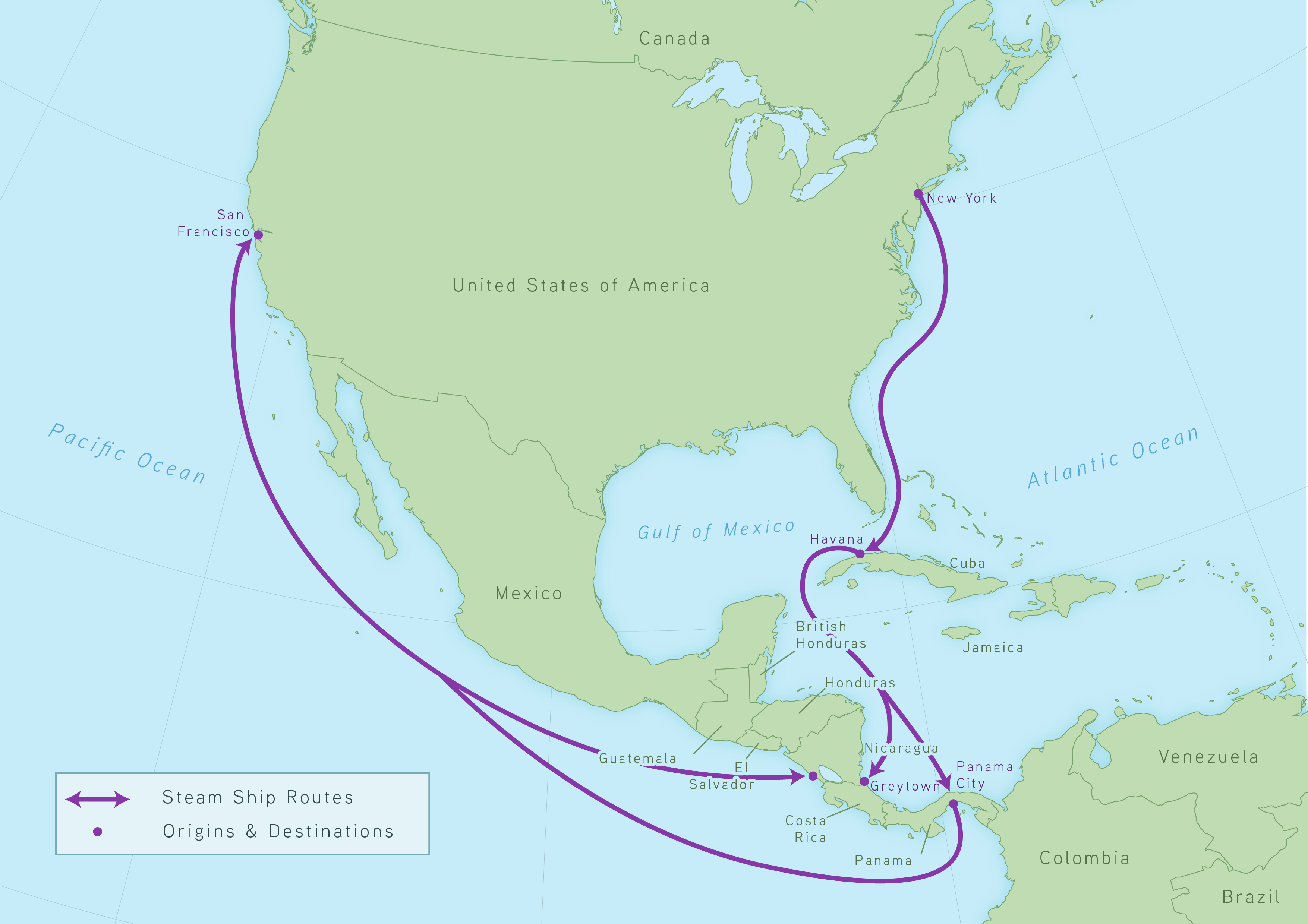
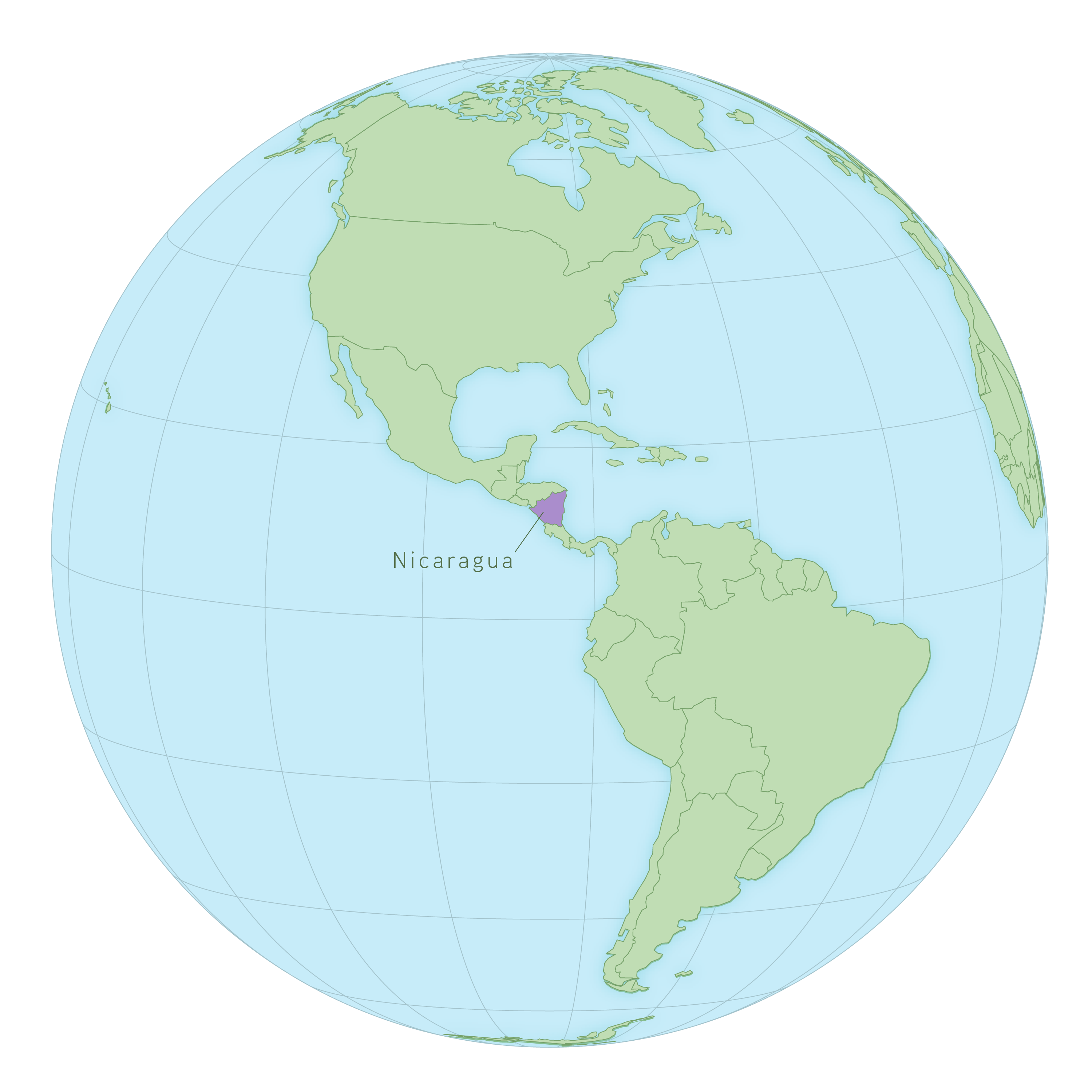
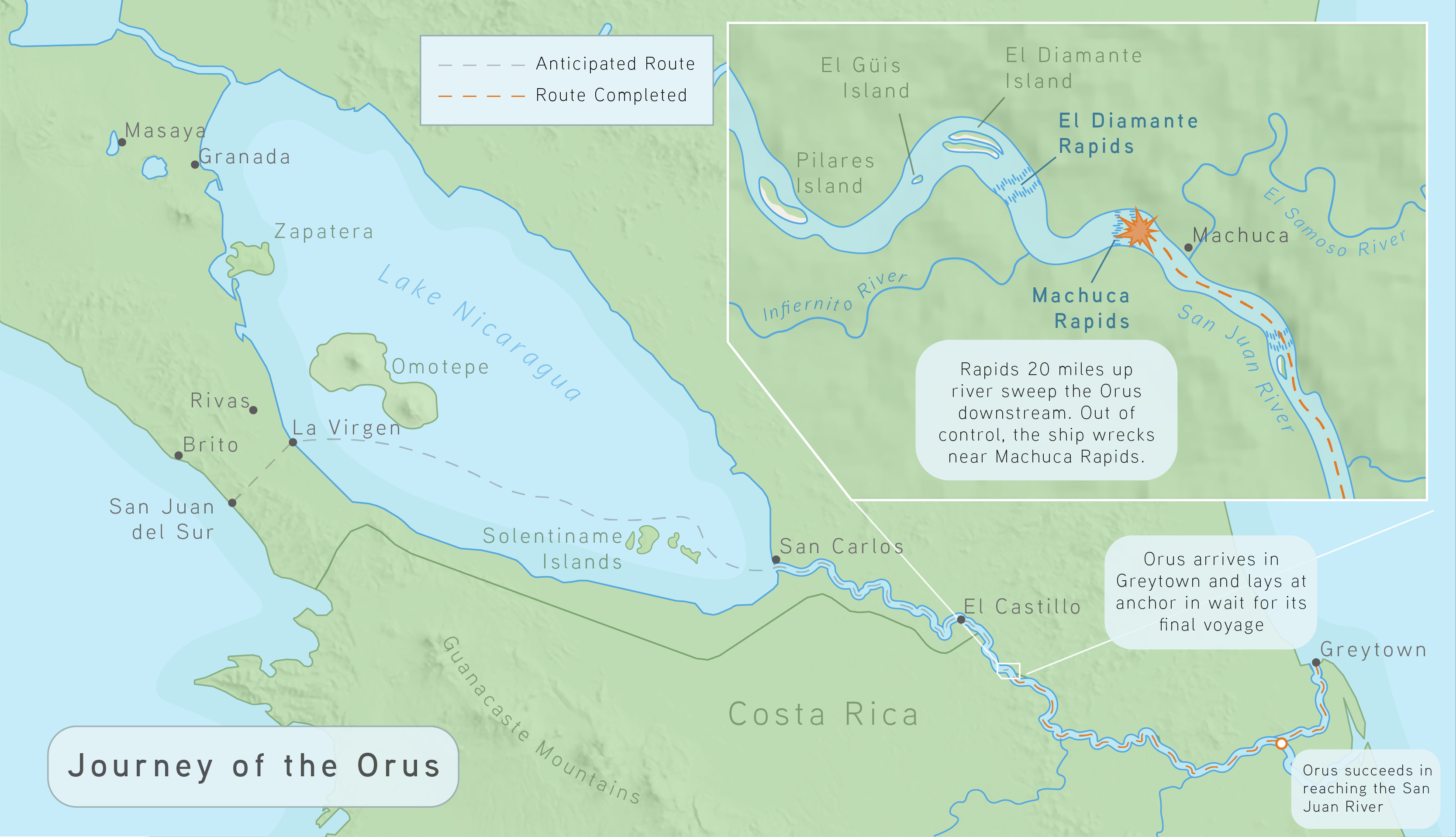
The expedition to Nicaragua had not happened yet and there was no data for me to work with in order to create an interactive web map. Instead, I designed a short series of static maps to accompany the story map. The purpose of these maps is primarily to contextualize. Where is Nicaragua located on the Earth? Why where American steam ships in Central American waters? We can see the remains of the Orus, but how far did her final journey take her?


